A Kayaker’s Road Trip Guide
Resources, Tips, and Destinations for Your Next Kayaking Adventure
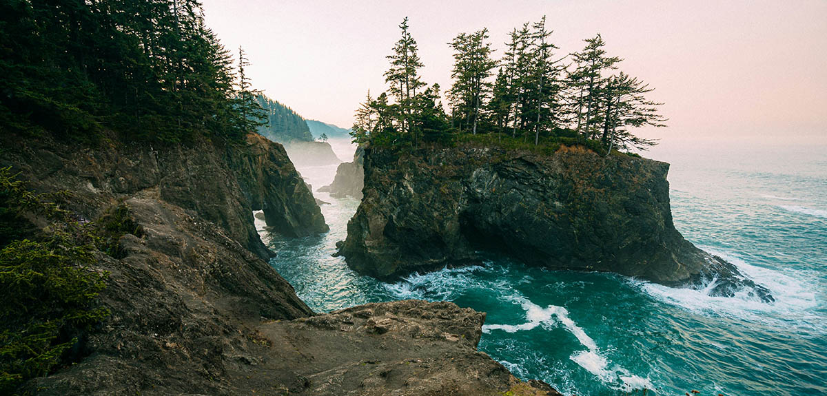
Image Caption: Photo by Tucker Ballister
Paddling is a great way to get off the beaten path on a USA road trip. When I was traveling alone in a truck camper for 365 days it required a lot of driving, but it also allowed me to explore my passion for paddling, and put together this kayaker’s road trip guide.
In it, you’ll get a large collection of paddling trips to check out throughout the contiguous United States. You’ll also find tips to help you prepare for paddling in unfamiliar locations. So let’s get to it!
How to Prepare For a Kayaker’s Road Trip
Photo by marekuliasz via Shutterstock
One of the hardest parts about an extended road trip is the inability to go back for things that you forget…especially if you don’t realize you forgot them until you’re five hours down the road.
So, let’s start this kayaker’s road trip guide with some tips to help you plan and prepare for your trip:
Step 1: Plan Your Route
Plan your route according to the types of waterways you feel most comfortable paddling on. If you don’t want to paddle on whitewater, then identify lakes or bays with accessible boat ramps. For whitewater enthusiasts, identify creeks and rivers that fit your skills and experience level.
Step 2: Get the Gear
Research the recommended kayaking gear for your destinations and acquire it before you leave. For example, some locations on the Great Lakes suggest certain types of kayaks and require cold weather kayaking gear, depending on the time of year you visit.
Also, stock up on kayak cleaning supplies, especially if you plan on hitting any saltwater. It’s good to wash saltwater off your kayak after each paddle to prevent rust from developing on any metal components.
Additionally, you can use a cockpit cover on a sit-inside kayak to improve your fuel economy and invest in dry bags to keep your gear dry while kayaking. Finally, make sure you have a stocked waterproof first aid kit in your arsenal every time you head out.
Step 3: Load your Kayak
Load your kayak with locking kayak straps so you don’t have to worry about leaving it unattended. On an extended road trip, you might not paddle every day. But it helps to know your kayak is secure if you leave your vehicle for several hours for things like grocery shopping.
Step 4: Have a System to Dry Wet Gear
Have a system for drying wet gear so that it doesn’t stink up your road trip vehicle. If you can’t set up a system to dry your gear immediately, consider dedicating a lidded storage bin to keep wet gear temporarily until you can line dry or hit a laundromat. Just don’t forget and leave wet gear in there too long!
Step 5: Explore Guided Kayak Adventures
This is one of the most important tips in this whole kayaker’s road trip guide. Look into guided kayak trips at your desired destinations, especially if you don’t have a ton of kayaking experience.
These adventures are a great way to make paddling in unfamiliar locations safer. Plus, they have the added benefit of giving you the chance to meet locals or fellow travelers.
Step 6: Consider Emergency Medical Training
Consider enrolling in a Wilderness First Responder course from the National Outdoor Leadership School (NOLS) to increase your confidence in handling unexpected medical emergencies.
Step 7: Log Trips with Local Authorities
Every time you head out, someone should know where you’re going and when you plan on being back. Whether it’s filing a formal trip report with the US Coast Guard or just sending a quick text to your parents, don’t go out without someone knowing where you’re headed and when you’ll return.
Resources for a Kayaker’s Road Trip
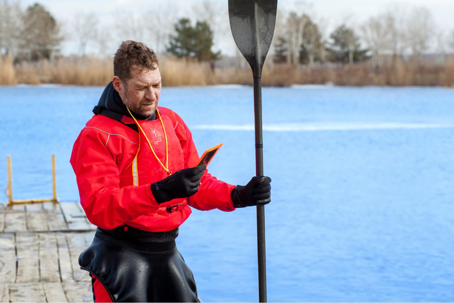
Photo by sergua via Shutterstock
Planning and executing any good road trip requires finding efficient driving routes, locating campgrounds, figuring out where to restock supplies, and much more. it also involves keeping a close eye on the weather and finding information on local paddling spots.
Here are some of the best resources to help you along your way:
Weather Apps and Tide Charts
Obviously, there are a ton of weather apps out there. If you’re an experienced paddler, you might take the weather for granted in your home paddling spots. But when you’re traveling to new locations, checking the weather early and often is imperative to have a safe trip.
Start by checking the chances of precipitation and wind patterns while planning your route. In many cases, wind forecasts change regularly. So continue to check and be willing to adapt your plan up to the last minute before you launch. Two of my favorite apps for checking wind and weather are WindFinder and Ventusky.
Additionally, you need to be aware of tides and ocean currents if you’re doing any saltwater paddling. Incoming or outgoing tides should impact how you plan your routes. If you’re not careful, they can make getting back to your launch spot nearly impossible.
US Harbors and the National Oceanic and Atmospheric Administration (NOAA) are two of the best resources for finding tide times and heights in your area. If you have another app that you recommend for ocean kayaking, please share it in the comments below!
Launch Locators
Finding safe places to launch your kayak is imperative and avoiding long carries from your car to the water’s edge makes life a lot easier. Paddling.com provides a useful map of launch locations all over the country. Aside from that, using Google Maps on the satellite setting can also be helpful.
Guide Services and Outfitters
Local guide services, rental companies, and kayak outfitters are often the best places to get real-time updates on paddling conditions or the safety of launching in certain locations. After all, it’s their job to make sure they aren’t sending their customers out onto unsafe waters.
Typically, they can also answer other questions about paddling in their region. If you get someone on the phone, don’t hesitate to ask about river flow rates, whether your proposed point-to-point route is really feasible, and anything else that pertains to your trip.
If you’ve never paddled in that area, reaching out to a local guide service can also make you feel a lot safer. They can shed light on obstacles or preparation reminders that you otherwise wouldn’t know. Plus, these companies are your best resource for organizing a shuttle if you’re traveling alone and want to organize a point-to-point kayak trip.
Local and Federal Management Agencies
Most waterways are policed and managed by some sort of management agency. In Texas, for example, the Lower Colorado River Authority (LCRA) controls the dams that were built to create a series of seven lakes in the center of the state.
When they decide to open or close these dams has a massive impact on water levels and currents in these lakes. Their decisions also impact the accessibility of boat launches, as high or low water levels can render certain locations too hazardous to launch your kayak.
This is especially important when kayaking on rivers, but it’s important for lakes and coastal waterways as well. Knowing things like the location of shipping channels or the rules for right-of-way on a lake are important to your safety when kayaking in new places.
In addition to river authorities, some examples of management agencies include but aren’t limited to, state recreation agencies, the National Park Service, the US Coast Guard, and state departments of environmental protection.
Trip Log Apps
One of the best things about taking a kayaking road trip is chronicling your adventures. But it’s much easier to do so if you have a dedicated method. You can get your own waterproof journal and pen to go along with it but, as they say, there’s an app for that too.
The Strava and Paddle Logger apps allow you to collect a bunch of useful information as you’re paddling. From photos and trip length to environmental factors like wind speed and temperature, these apps will help you collect a bunch of cool data you can use later. Heck, it might even help you compile your own kayaker’s road trip guide down the road!
Kayak Trips Around The US
In roughly five months, I hit 16 kayaking locations in 11 different states to compile this kayaker’s road trip guide. Most were out-and-back journeys but, in a couple of places, I was able to organize a shuttle service for a point-to-point adventure.
If you want to kayak along your road trip but you need a little extra assistance, I’d strongly encourage you to research the benefits of hiring a guide for your next kayak adventure. That being said, here’s some info on where I kayaked on my road trip, organized by region.
Kayak Trips in the South
Lake Somerville
Photo by quantabeh via Shutterstock
- Launch/End Location: Nails Creek Boat Ramp at Lake Somerville State Park
- Closest City: Somerville, Texas
- Trip Highlight: Rocking around on a windy lake realizing that the preparation was over and the trip was underway.
Paddler’s Tip: The Nails Creek Boat Ramp allows you to back right up to the water’s edge to unload your kayak. Be aware of wind patterns on this sizeable lake so that you don’t have to work too hard to get back to the boat ramp.
Lake Ponchartrain
Photo by Tucker Ballister
- Launch/End Location: The Beach at Fontainebleau State Park
- Closest City: Mandeville, Louisiana
- Trip Highlight: Seeing my first alligator!
Paddler’s Tip: Concerns about gators were top of mind when launching here, but the water was clearer than expected and kids swimming at the nearby beach eased my fears. Heading to the right from the beach, I was able to paddle along a largely undeveloped stretch of shoreline until reaching the harbor channel just south of Mandeville Beach.
Kayak Trips in the Southeast
St. Marks River
Photo by Tucker Ballister
- Launch/End Location: St. Marks River Park
- Closest City: St. Marks, Florida
- Trip Highlight: Seeing more gators and catching up with an uncle I hadn’t seen in 10+ years.
Paddler’s Tip: Although it’s an inland river, the St. Marks River is heavily influenced by ocean tides. Do your homework to make sure you won’t be paddling back against an incoming tide.
Buttonwood/Flamingo Canal
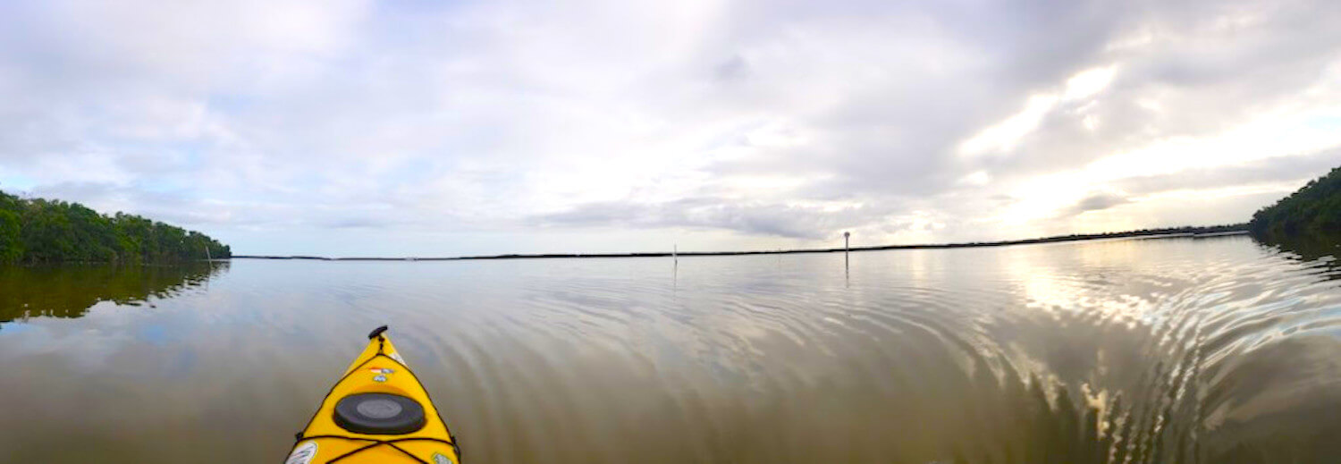
Photo by Tucker Ballister
- Launch/End Location: Flamingo Marina at Everglades National Park
- Closest City: Flamingo, Florida
- Trip Highlight: Watching a crocodile lift her head three feet out of the water to check for nesting locations on the side of the canal.
Paddler’s Tip: In most places, the canal is roughly 40 to 50 feet across, which provides plenty of room for you to paddle in the center without getting too close to the mangroves (and what could be lurking on the shores). Still, be aware of tour boat traffic and allow motorized vessels to pass accordingly.
Green River
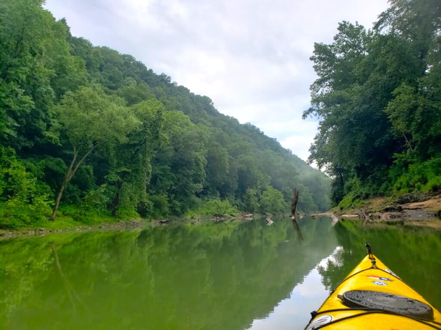
Photo by Tucker Ballister
- Launch Location: Dennison Ferry
- End Location: Green River Ferry (Mammoth Cave National Park)
- Closest City: Mammoth Cave, Kentucky
- Trip Highlight: Getting caught in a downpour, but coming through it to be nearly the only person on an eight-mile stretch of river.
Paddler’s Tip: Check the river flow rates to ensure a safe point-to-point journey on the Green River. You can utilize a local kayak rental company to organize a shuttle service or rent any gear you need for this trip. There are no alternative take-out points between Dennison Ferry and Green River Ferry, but you can add an extra four miles to your trip by continuing to Houchin Ferry if you like.
French Broad River
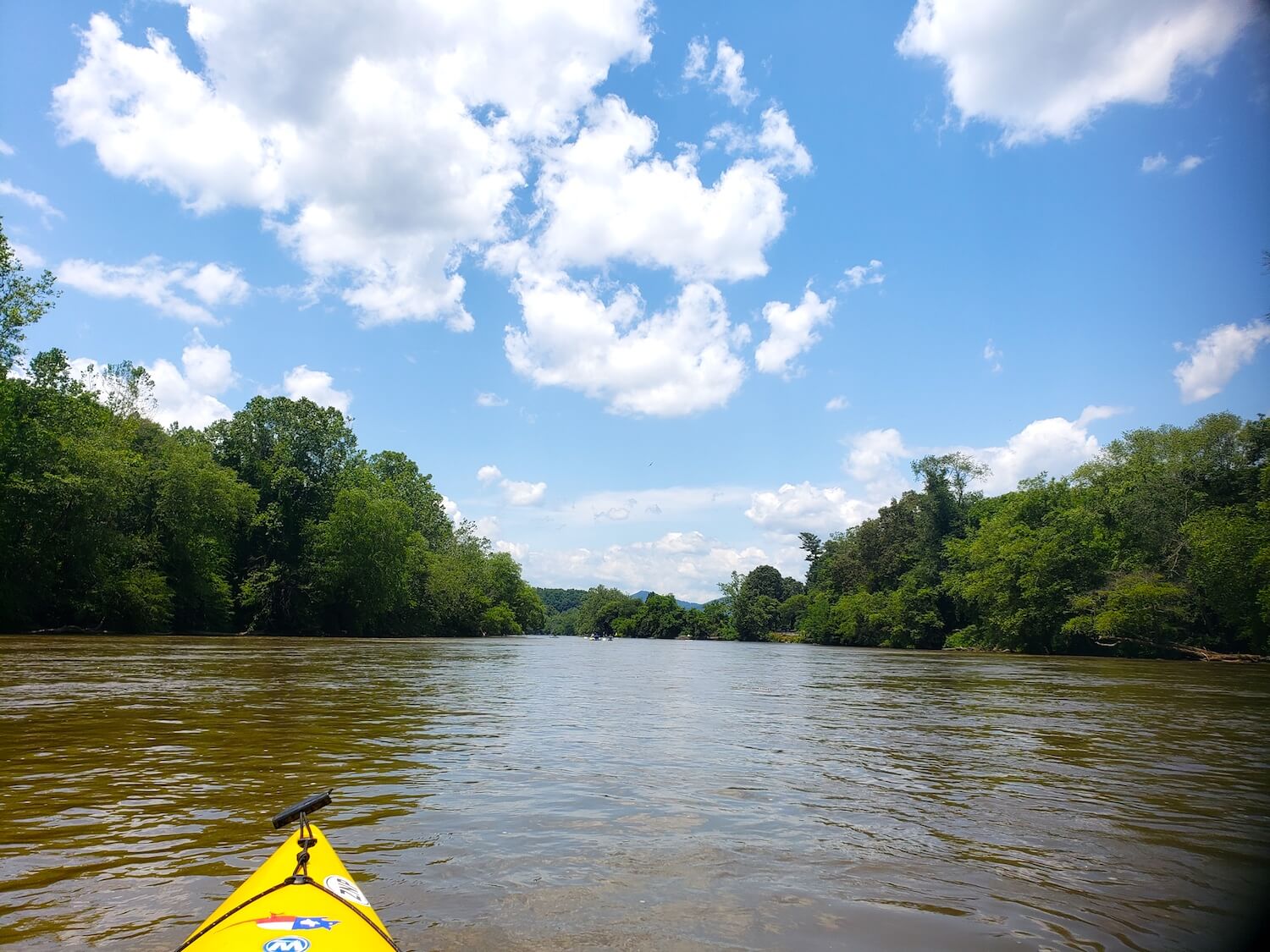
Photo by Tucker Ballister
- Launch Location: Bent Creek River Park
- End Location: French Broad Outfitters (just before Pearson Bridge)
- Closest City: Asheville, North Carolina
- Trip Highlight: Stopping at the Hominy Creek pull-out for a swim and a refill on river beverages.
Paddler’s Tip: Plan this trip for a weekend day if you’re traveling solo and want some chances to meet locals on the river. The lower section of the river is very popular for casual river floaters and the pit-stop at Hominy Creek usually has live music and other events on the weekends.
Lake James
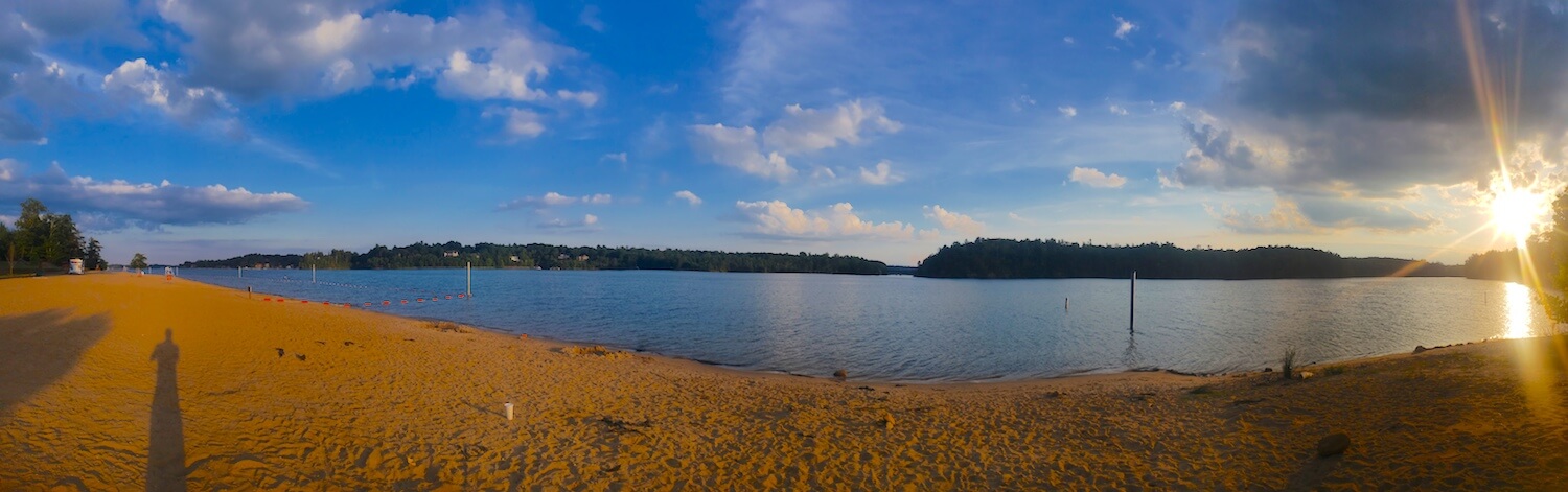
Photo by Tucker Ballister
- Launch/End Location: Paddy’s Creek Day Use Area in Lake James State Park
- Closest City: Nebo, North Carolina
- Trip Highlight: Exploring the paddle-in lakefront campsites for future adventures.
Paddler’s Tip: Research this destination in advance and reserve a lakefront campsite if you want to get away from your car and enjoy a night out in nature on your road trip.
Kayak Trips in the Northeast
Mt. Desert Narrows
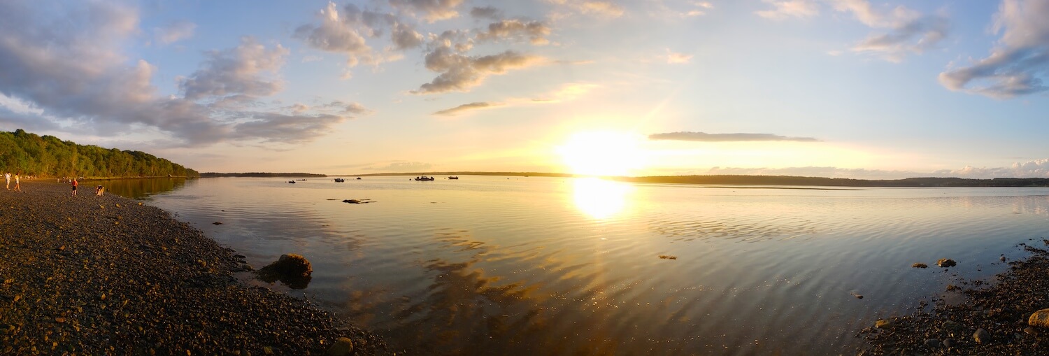
Photo by Tucker Ballister
- Launch/End Location: Hadley’s Point
- Closest City: Bar Harbor, Maine
- Trip Highlight: Seeing juvenile eagles nested in the pines on ‘The Twinnies’ islands.
Paddler’s Tip: Know the tides so that you don’t get caught paddling against the current in the Mt. Desert Narrows. The trip around the Twinnies is relatively short and this location is one of the best I found on the island for watching the sunset.
Northeast Harbor
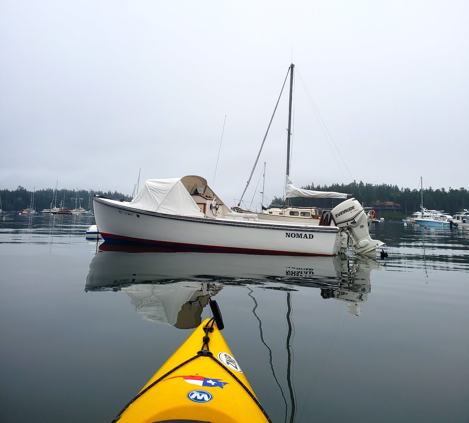
Photo by Tucker Ballister
- Launch/End Location: Northeast Harbor Marina
- Closest City: Northeast Harbor, Maine
- Trip Highlight: Paddling around Bear Island, seeing an adult eagle, and watching a seal devour a large fish upon returning to the marina.
Paddler’s Tip: Northeast Harbor is a stark departure from the hustle-and-bustle of Bar Harbor and Acadia National Park. Be aware of the boat traffic as you’re entering and exiting the harbor and be sure to keep a watchful eye out for marine wildlife.
Keeler Bay on Lake Champlain
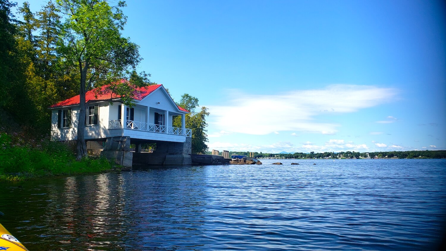
Photo by Tucker Ballister
- Launch/End Location: Boat Ramp at Keeler Bay Access Area
- Closest City: South Hero, Vermont
- Trip Highlight: Checking out the boat-in homes on Kellogg Island.
Paddler’s Tip: The winds on most of Lake Champlain were high enough to discourage me from paddling for most of the week I was here. But I was pleased to find Keeler Bay well-protected from prevailing wind patterns. Still, be sure to check the wind and weather before heading out on this huge lake.
St. Lawrence River
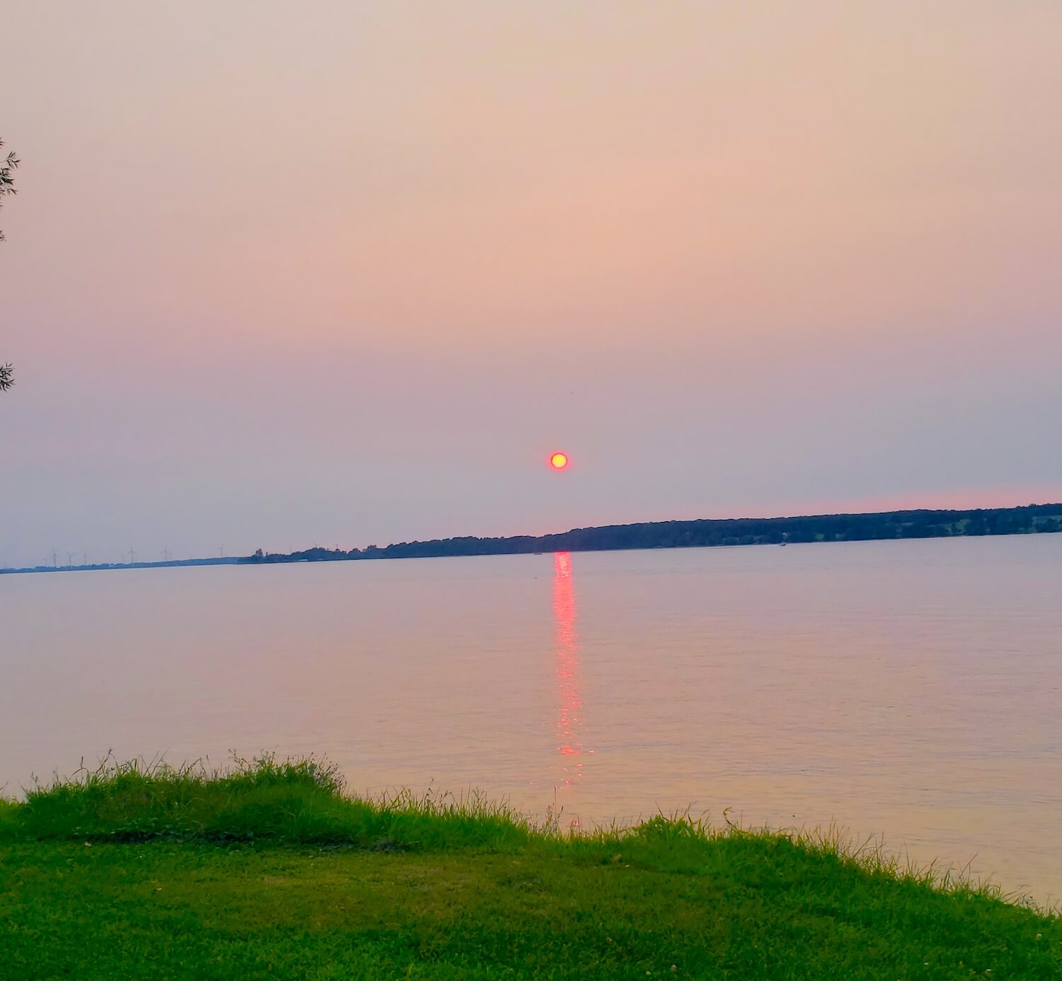
Photo by Tucker Ballister
- Launch/End Location: Burnham Point State Park
- Closest City: Cape Vincent, NY
- Trip Highlight: Seeing massive tanker ships heading into Lake Ontario and seeing the summer homes on Carleton Island.
Paddler’s Tip: Look out for large tankers on this expansive lake (and try surfing their wakes if you’re feeling adventurous). Also, keep an eye out for large fish and other aquatic wildlife in the crystal clear waters of the river.
Kayak Trips in the Midwest
Portage Lake
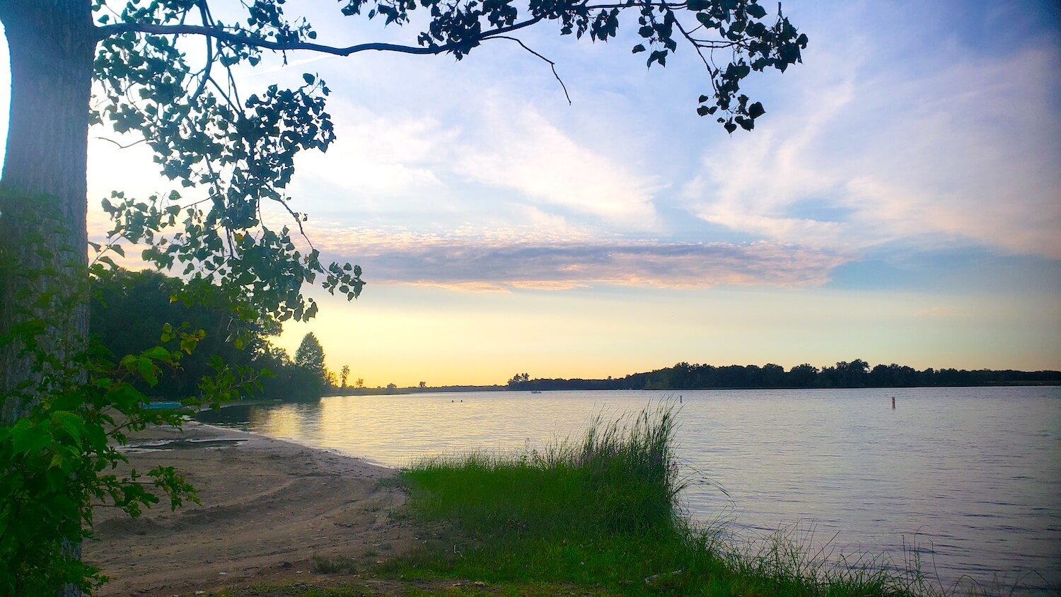
Photo by Tucker Ballister
- Launch/End Location: Portage Lake Boat Launch in Waterloo State Recreation Area
- Closest City: Grass Lake, Michigan
- Trip Highlight: Investigating uprooted trees and other natural damage from a recent windstorm.
Paddler’s Tip: This relatively small lake is perfect for a circumnavigation paddle that will take just a couple of hours in the morning. Still, strong winds came up and caused me to cut my journey short. Getting an earlier start should minimize your chances of encountering high winds here, but check your forecast.
Lake Huron
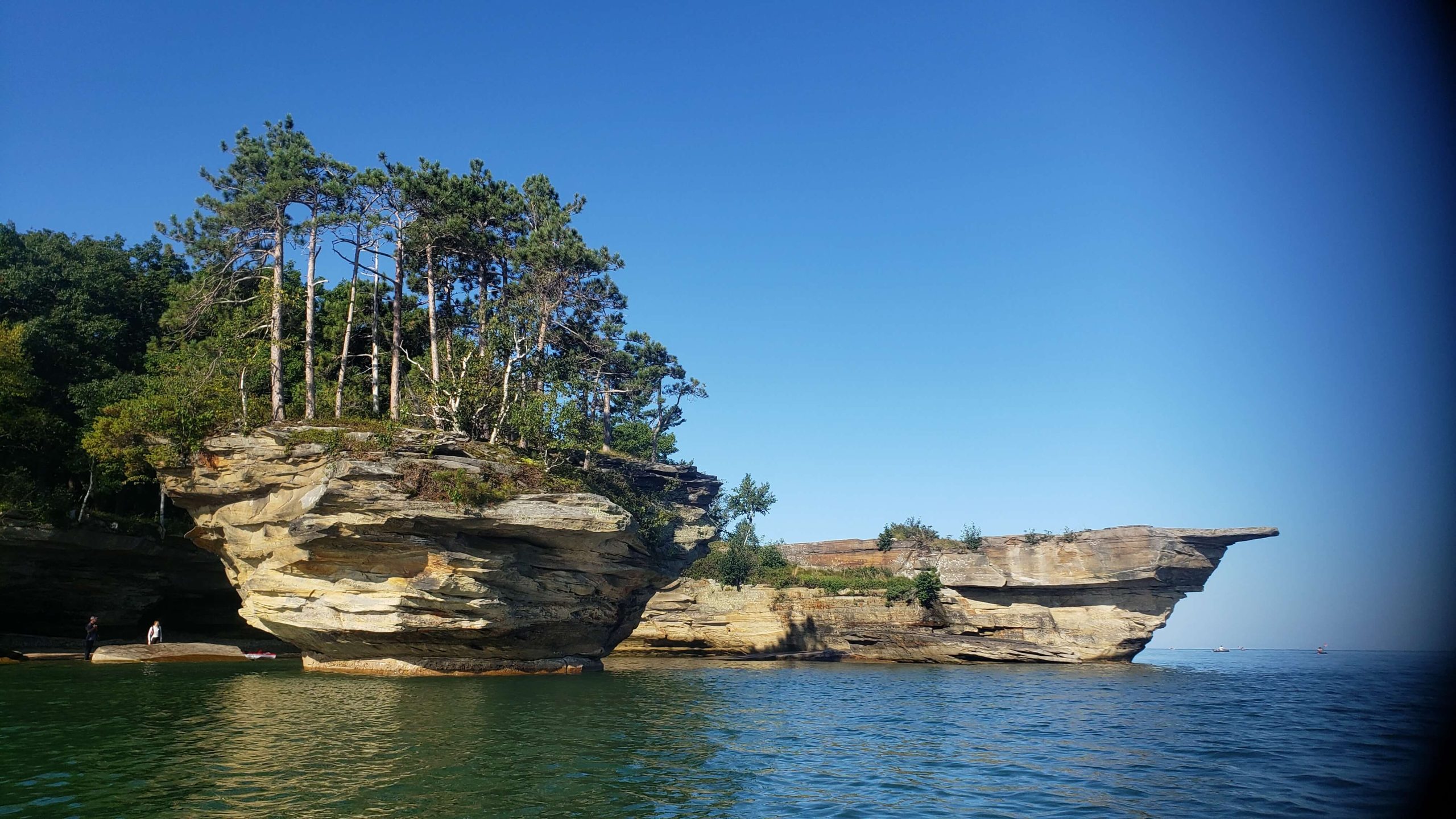
Photo by Tucker Ballister
- Launch/End Location: Bird Creek Park in Port Austin
- Closest City: Port Austin, Michigan
- Trip Highlight: Seeing the odd-shaped Turnip Rock and rescuing a miniature golden doodle that had fallen off the cliff and become trapped in a lakeside cavern.
Paddler’s Tip: Lake Huron can go from a flat summer paradise to a wavy nightmare in short order. Have all your kayaking safety equipment onboard and check wind patterns early and often. It’s a lot of lake to be blown out into if you don’t plan ahead. Oh, and watch out for falling dogs!
Lake Superior
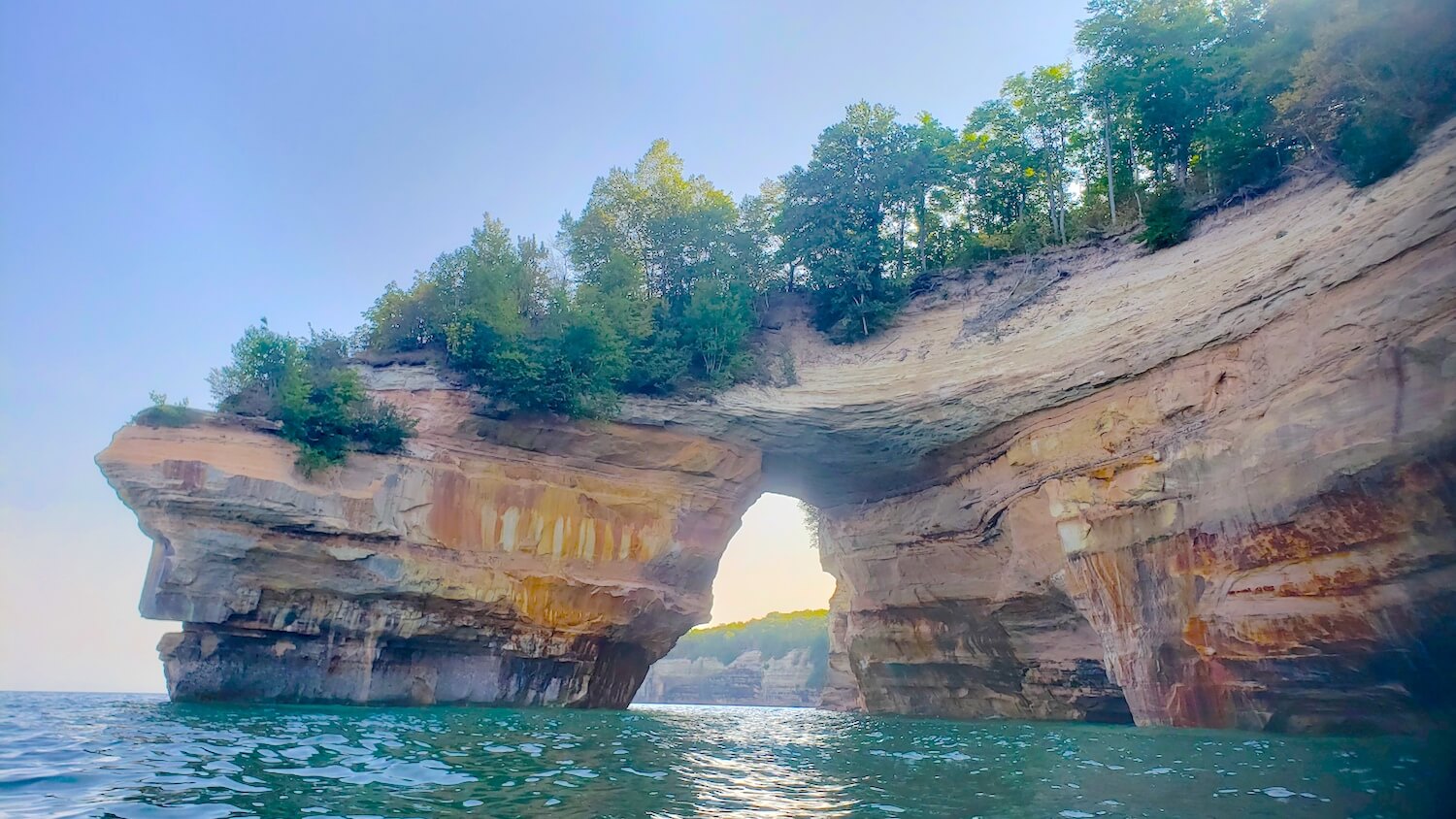
Photo by Tucker Ballister
- Launch/End Location: Miner’s Beach in Pictured Rocks National Lakeshore
- Closest City: Munising, Michigan
- Trip Highlight: Exploring the multi-colored cliffs and imagining spring waterfalls gushing over the edge in certain locations. Also, paddling through a massive natural rock arch.
Paddler’s Tip: Turn right (instead of left) at the end of Miner’s Beach Road. This will take you to a parking area with a more accessible path down to the beach. Still, this launch point requires a long carry and has a set of steps at the end. I strongly recommend a kayak cart for launching here and, due to the high winds that are common here, you may also benefit from researching guided kayak tours in the area.
Kabetogama Lake
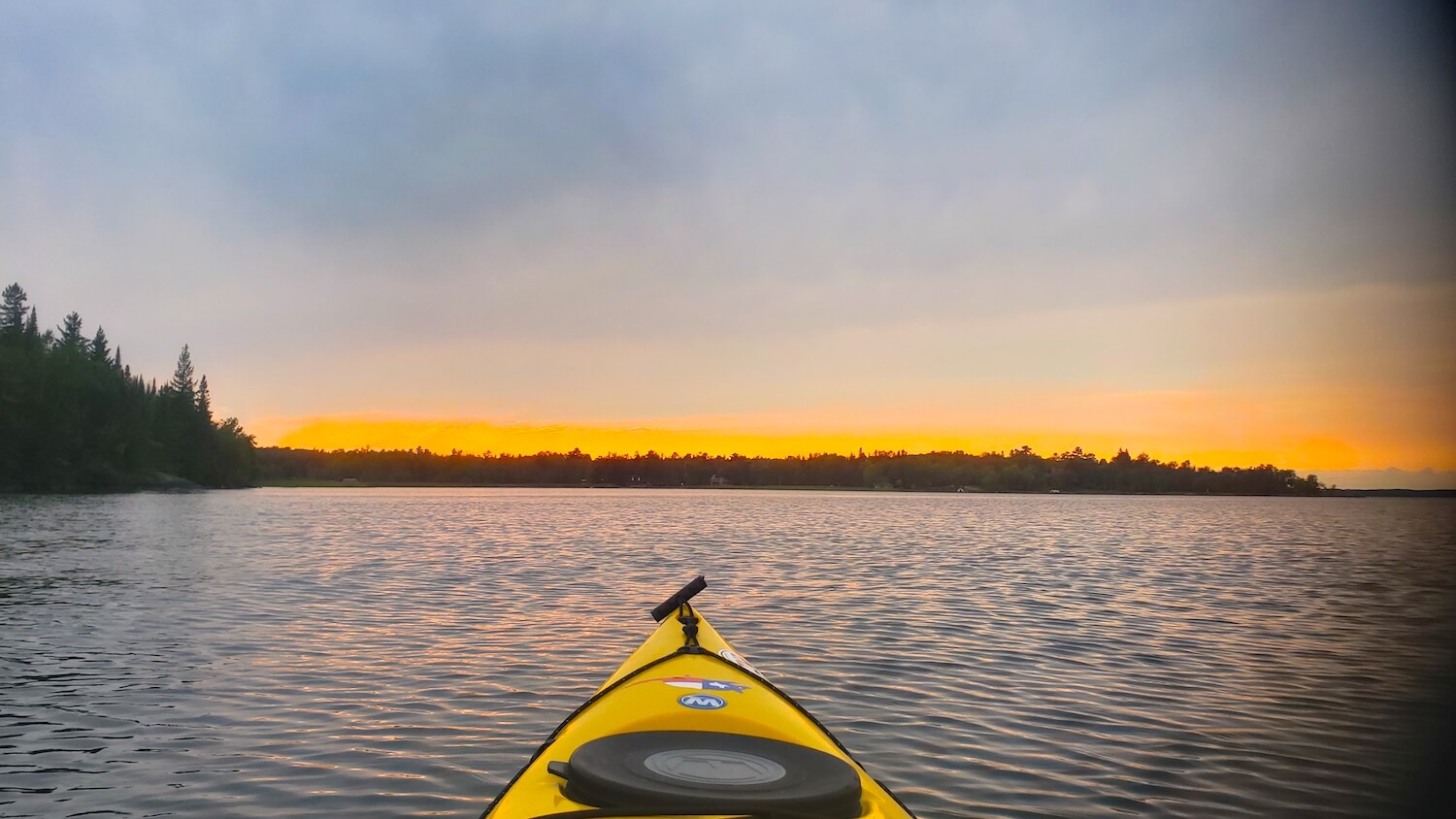
Photo by Tucker Ballister
- Launch/End Location: Woodenfrog Campground in Voyageurs National Park
- Closest City: Kabetogama, Minnesota
- Trip Highlight: Catching the slap of a beaver’s tail and a magnificent sunset at one of the northernmost locations on my trip.
Paddler’s Tip: It’s a central theme of this kayaker’s road trip guide, but check the wind patterns before heading out. There are tons of small islands to explore on Kabetogama Lake, but if you’re not prepared for wind shifts, your curiosity will cause you to have a difficult return paddle.
Kayak Trips in the West
Lake McDonald
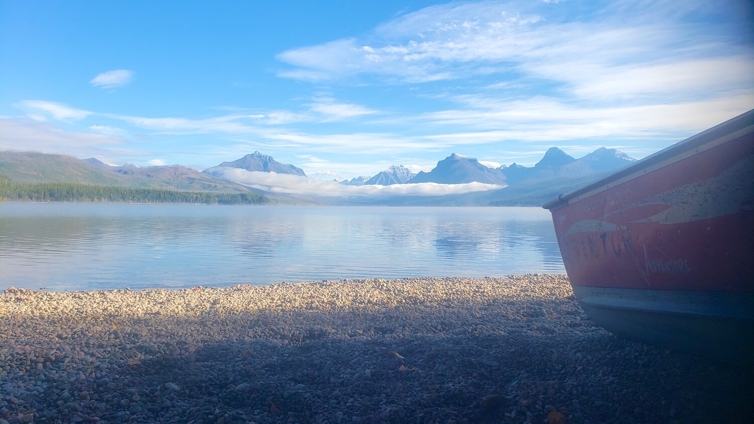
Photo by Tucker Ballister
- Launch/End Location: Apgar Boat Dock in Glacier National Park
- Closest City: Apgar, Montana
- Trip Highlight: Taking a dip in some of the cleanest (and coldest) water to grace my kayak on this entire adventure!
Paddler’s Tip: Get an early start to enjoy the calm, clear waters of Lake McDonald before the winds pick up. The prevailing winds seem to blow off the beach and across the lake, which means it will be difficult to return if you paddle directly away from the beach to start out. Still, check the wind patterns during your visit to know what to expect.
There are still many stones unturned in my quest to explore the US by kayak, but I hope this kayaker’s road trip guide inspires you to start planning your own kayaker’s road trip. If you have any other resources or preparation tips, we’d love to hear from you.
Heading out for your own kayaker’s road trip soon? Let us know where you’re heading!

Tucker Ballister is a Technical Content Writer for Camping World and a lover of the open road. You can check out more of his adventures and outdoor advice at thebackpackguide.com.