The U.S. Forest Service has released an updated online wildflower map with hundreds of locations within national forests for prime wildflower viewing, making it easier than ever to enjoy America’s great outdoors.
The wildflower map includes 317 wildflower viewing areas on National Forest System lands and can be referenced by specific states, individual national forests and geographic regions. Click here to visit the site.
“This updated map provides visitors a quick guide to find locations and best viewing times for the spectacular natural beauty of wildflowers on national forests,” said Forest Service Chief Tom Tidwell. “This is one more way folks can experience the bounty of natural surroundings.”
For many rural communities, the tourist revenue generated by thousands of wildflower festivals and events held each year helps support local economies. According to recent research, viewing and photographing wildflowers and trees is the fastest growing nature-based outdoor activity.

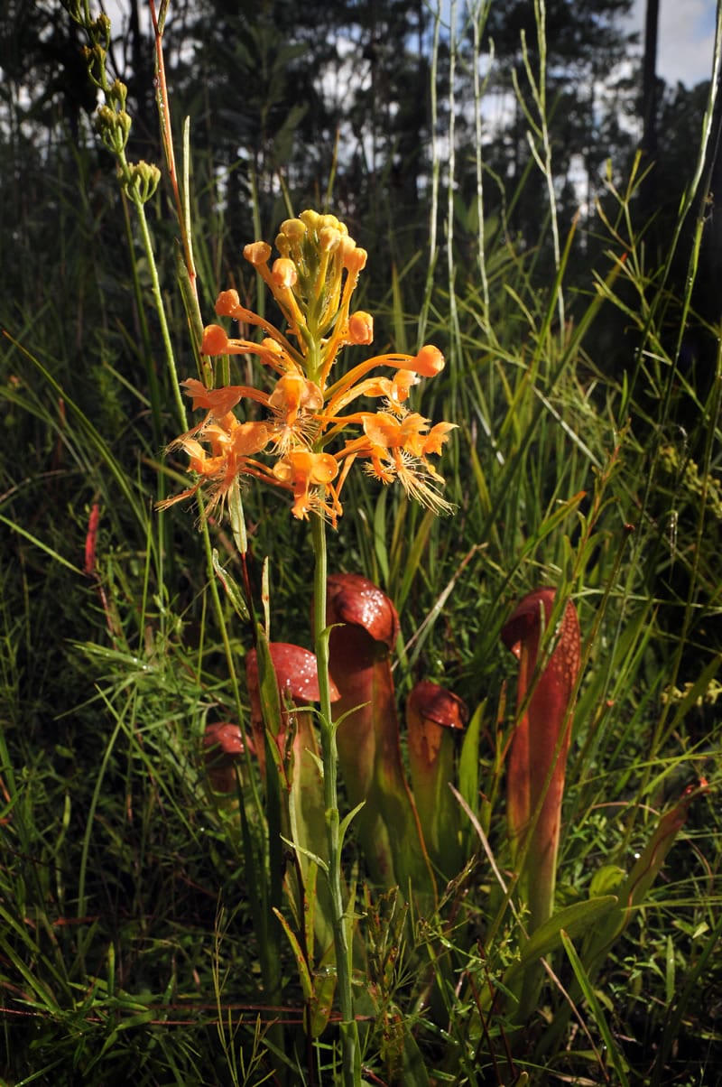
Francis Marion National Forest is where you can find the yellow fringed-orchid and hooded pitcher plants. Photo by Ricky Wrenn
A narrative for each location describes the viewing area’s botanical habitat, the types of wildflowers that can be found by season and recommendations for the best time of year to visit. Information on safety advisories such as animal habitats, clothing recommendations, insect or plant cautions, and traffic and parking tips are included. Directions to the site, the closest town and contacts for more information are also offered.
The map is part of the agency’s CelebratingWildflowers website, which includes more than 10,000 plant images and information about the aesthetic, recreational, biological, medicinal and economic values of native plants. Feature sections focus on the role of pollinators, overviews of flower types, and spotlights on rare and interesting plant communities. An ethnobotany page highlights how people of particular cultures and regions make use of indigenous plants. Educational activities for kids and resources for teachers also are available.


