Explore all the outdoor adventures awaiting in Big South Fork on the Cumberland Plateau in north central Tennessee and southeastern Kentucky.
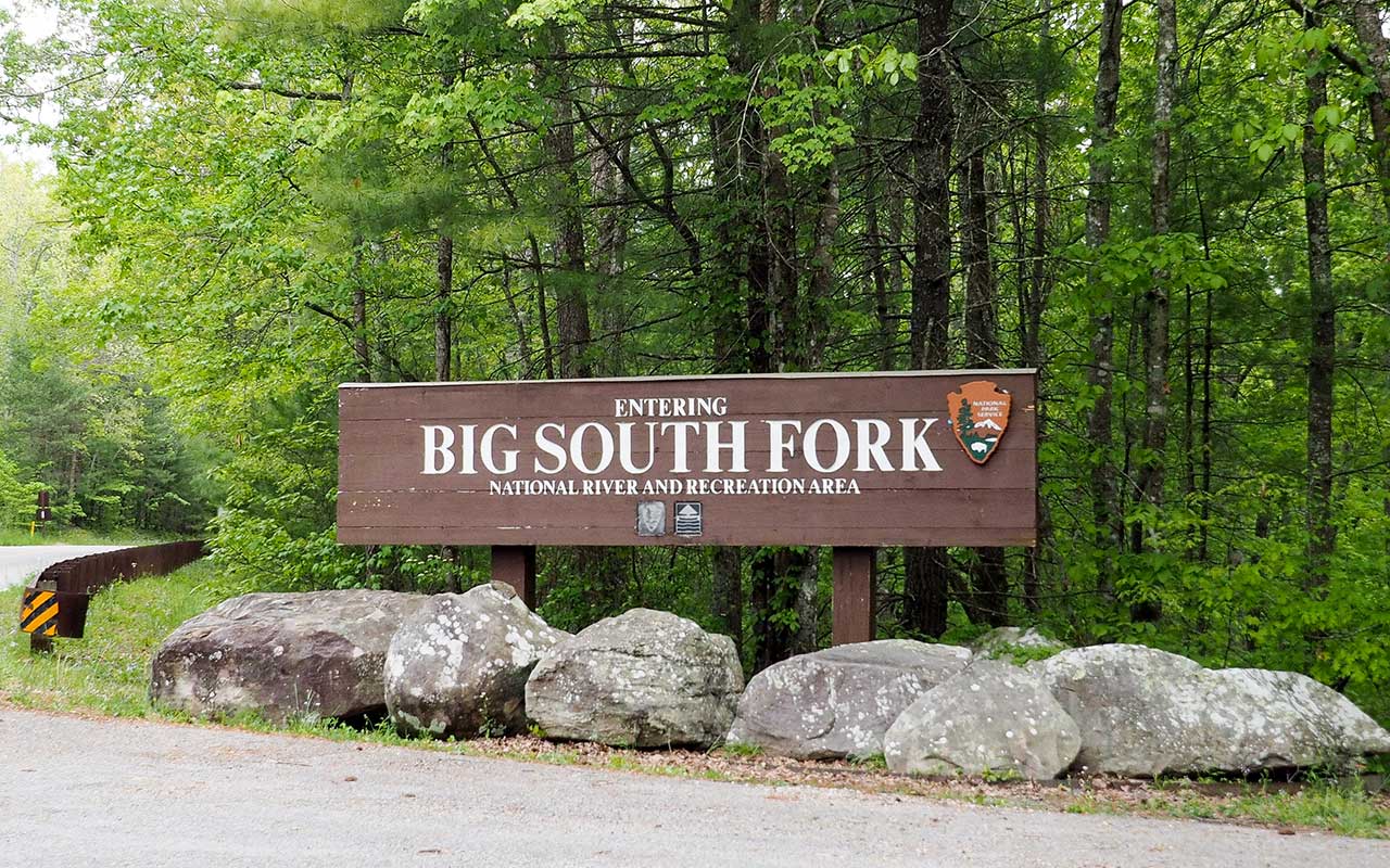
It’s really big! The Big South Fork National River & Recreation Area are big in more ways than one. Big name: Most people shorten it to the “Big South Fork.” Big space: More than 125,000 acres. That would qualify as big since it is the largest wilderness area east of the Mississippi River. But the name does not come from the size of the recreation area, but from the river that flows through it. The Cumberland River has many tributaries, or “forks.” The Big South Fork is the main waterway of the park (and yes, there is a Little South Fork.)
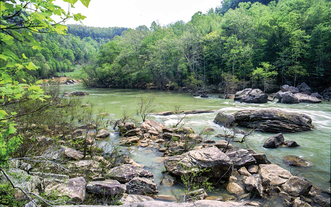
Devil’s Jump is named based on a rafter’s claim the devil himself jumped from a rock and sank his raft (or was it the rapids?).
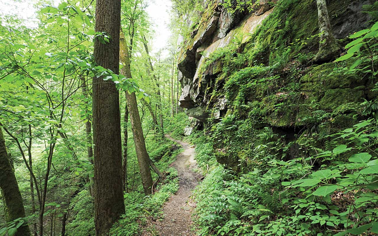
And big adventure! There are myriad things to do in the Big South Fork. Besides camping, there is hiking, biking and horseback riding on the 280 miles of trails. There is excellent white water for kayaking and floating on the 90 miles of free-flowing water. Wildflowers, waterfalls and unique land formations are among the favorite trail destinations.
The Big South Fork is located in the most rugged terrain of the Cumberland Plateau in north central Tennessee and southeastern Kentucky. Headquarters for the park is in Oneida, Tennessee, and there are several visitor centers scattered in nearby towns of both states. Within the park the main visitor center is in the Bandy Creek area adjacent to Bandy Creek Campground, which is approximately 15 miles west of Oneida and 24 miles east of Jamestown, Tennessee, along Highway 297.
Being near the geographic center, Bandy Creek Visitor Center is convenient to check for information on activities and to obtain the latest trail conditions, water and accessibility to the various areas. Information on outfitters and guide services for white-water float trips, overnight backpacking trips and horseback riding is available.
Due to the size, terrain and road conditions in Big South Fork, it may take extra time and precautions for traveling to and from the different areas. Main roads are paved, but some interior and peripheral roads are gravel and may be too rough for larger motorhomes.
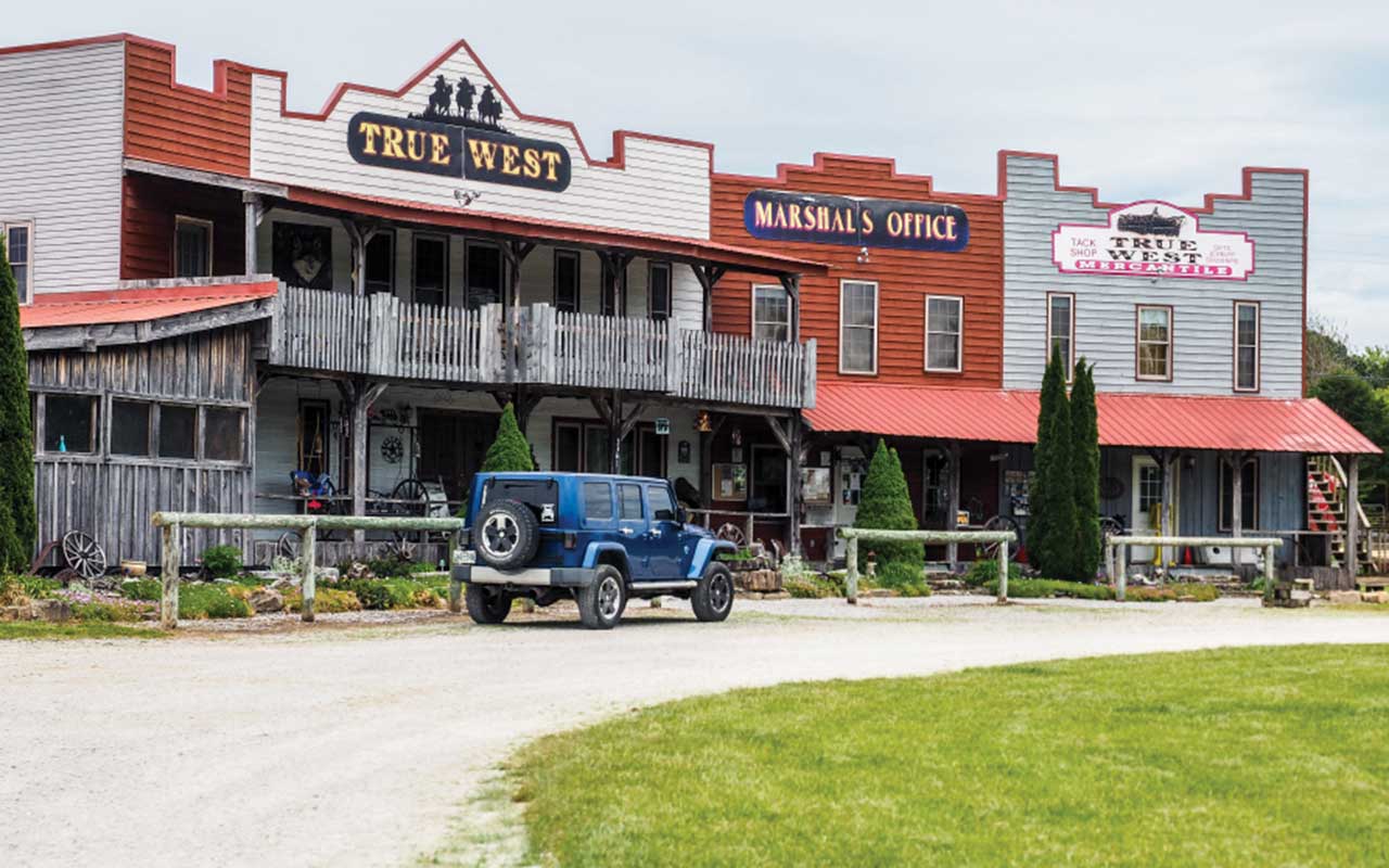
True West Campground offers 33 sites with water and electric (some also with sewer). The mercantile is stocked with camping supplies and souvenirs.
While I visited the Big South Fork, I stayed at the True West Campground located just outside of the park along the main east-west route, Highway 297, known as Leatherwood Road. The campground has all facilities for camping and stables for horses. The campsites can accommodate large motorhomes, are level and have hookups. Equestrian trails from the campground make it easy to access the major trails within the park and will take riders to some of the park’s points of interest. The owners of True West Campground, Donna and Shawn Martin, have been in the area for 10 years. Shawn’s dream was to own a campground and Donna’s love of horses made True West a perfect fit.
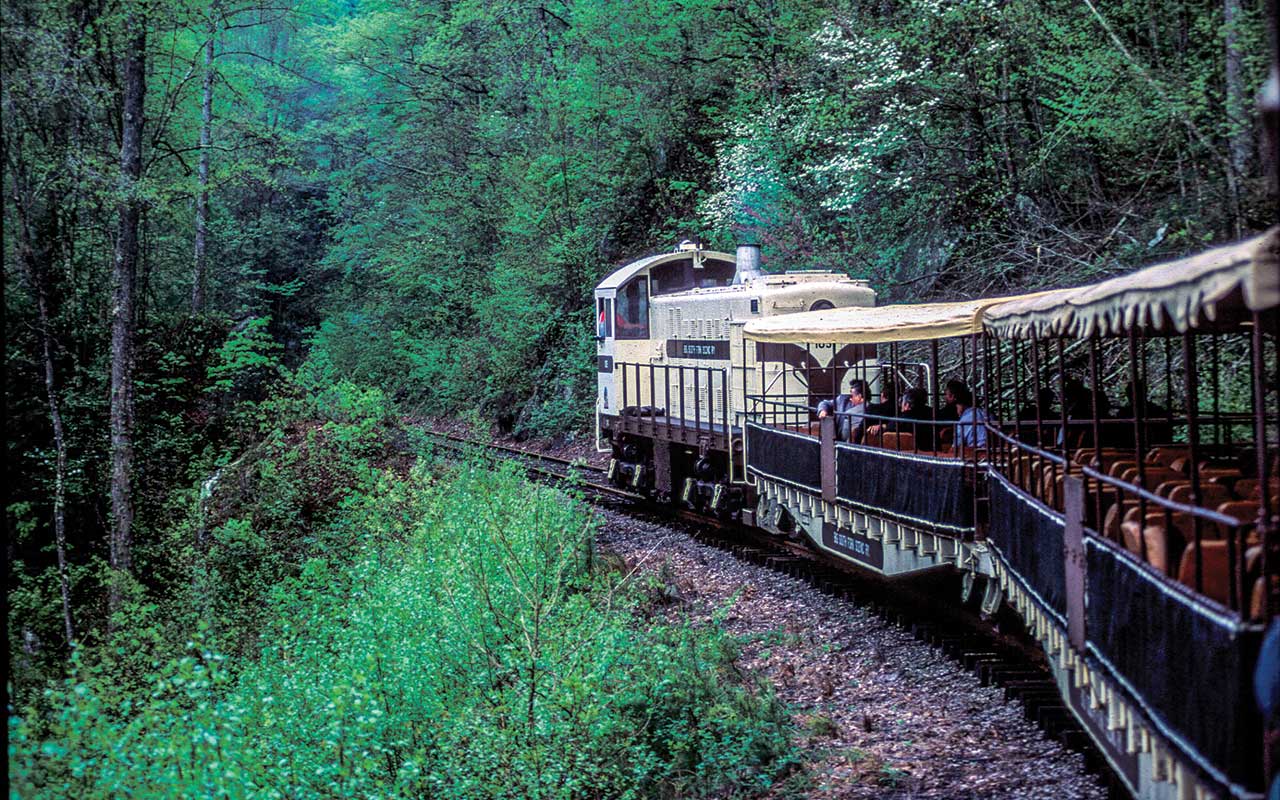
Big South Fork Scenic Railway takes passengers down an early coal-miner’s route to the Blue Heron Interpretive Center.
I wanted to see as many of the Big South Fork’s attractions as possible, even though I was aware there are too many to cover in one trip. Given the size of the park, I had to make a plan. Because True West Campground is located on the west side of the park and most of the things I wanted to see were on the east side, I crossed the park and headed to the extreme northern section into Kentucky to see Yahoo Falls, the tallest waterfall in the state at 113 feet. A short half-mile hike leads to the waterfall, which is a tall thin ribbon, but its height makes it interesting. As in many of the waterfalls and landforms in the Big South Fork, stairs and steps are involved. Such is the case at Yahoo Falls. Steep sections of metal steps lead down to the valley floor, but the hike is beautiful with its rock walls overlooking the route.
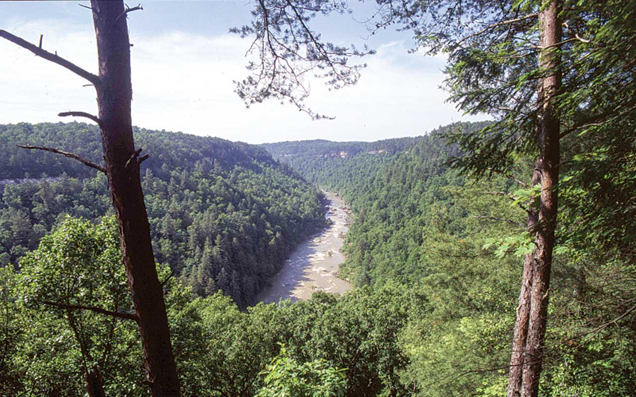
From Yahoo Falls, I headed south along U.S. 27 past Whitley City to the junction of Highway 92, which leads to Stearns and the Big South Fork Scenic Railway. The historic town of Stearns is headquarters for the railway, which makes regular runs to the Blue Heron Mining Community. The train takes passengers down the same route of the early coal miners to the Blue Heron Interpretive Center, where audio stations describe the life in an early coal-mining community. A side road to Blue Heron leads to the Devil’s Jump Overlook, one of many opportunities to look into the gorge and the white water of the Big South Fork of the Cumberland River many feet below.
There are a couple of other overlooks accessible from either the Blue Heron area or from Silerville farther down U.S. 27. The Split Bow Arch Overlook and the Bear Creek Overlook offer two opportunities for viewing the gorge. Still farther south, the town of Oneida is a good stop for supplies before heading back west along Highway 297 or continuing to points south.
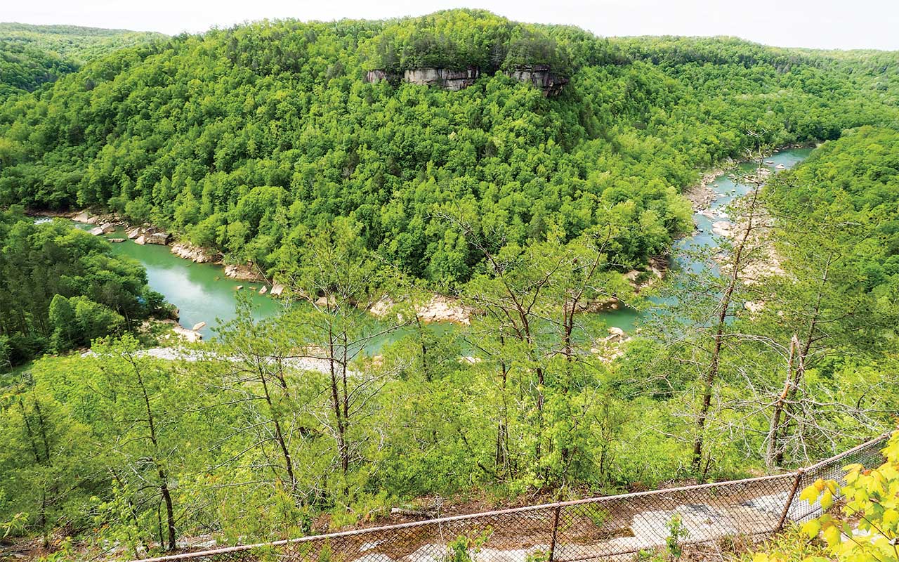
Devil’s Jump Overlook serves up an impressive view of the gorge and the white water of the Cumberland River’s Big South Fork many feet below.
For those with extra time, there are many roads into the heart of the Big South Fork leading to trailheads to other scenic areas, overlooks, natural arches and historic points of interest. I chose to continue south to the town of New River, where I took the Mountain View Road to the Burnt Mill Bridge area. It’s a picnic area with access to Clear Fork, another tributary of the Big South Fork. Near the Burnt Mill Bridge area, the paved road changes to gravel for a short way and continues for about 3 miles to the trailhead of the Honey Creek Overlook. The gravel road past Burnt Mill Bridge is not recommended for motorhomes. The 5.5-mile loop trail to Honey Creek Overlook is listed as “the most challenging trail in Big South Fork” according to the park’s website. I stopped at the Burnt Mill Bridge and enjoyed the view of the river rather than continuing to Honey Creek.
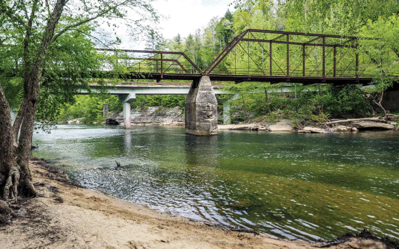
Burnt Mill Bridge area in Big South Fork National River and Recreation Area is a great place for a picnic.
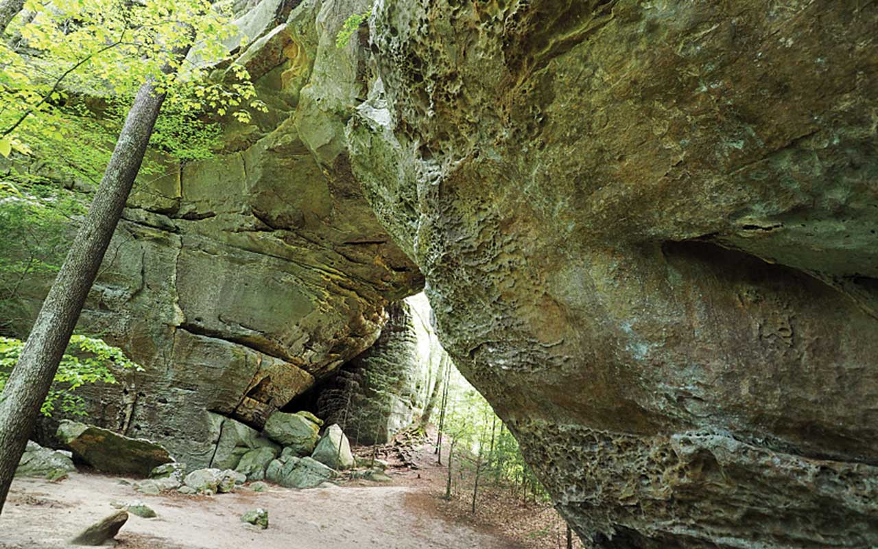
From New River I returned to Oneida and picked up Highway 297 and returned to True West Campground. On the west side of the Big South Fork, I wanted to see the Twin Arches, one of my favorites and one of the most popular points of interest in the park. To get there I traveled west on Highway 297 to Highway 154, then north for a couple miles to Divide Road and the sign to Twin Arches. The nearly 6-mile gravel road is rough in spots and not suitable for motorhomes. Drive the dinghy vehicle to the parking area and hike the 0.7-mile trail to the arches. The North Arch has a clearance of 51 feet and spans 93 feet. The South Arch has a clearance of 70 feet and spans 135 feet. The trail divides soon after the beginning. The trail to the right crosses the North Arch, while the left trail passes underneath the South Arch. Both have plenty of stairs, but I found the left trail to be easier on the return trip.
There are five campgrounds within the Big South Fork. Bandy Creek Campground is located in the Tennessee portion off Highway 297 and offers 96 sites with water and electric hookups. Blue Heron Campground in the Kentucky portion has a total of 45 sites, all equipped with water and electric hookups. Alum Ford Campground has only primitive campsites. The two equestrian campgrounds, Bear Creek in Kentucky and Station Camp in Tennessee, are both developed campgrounds managed by the park. But I enjoyed my stay at True West Campground, just outside the park’s borders.
The Big South Fork National River and Recreation Area is truly big in every way. There is much to see and do. Experiencing it can be in a variety of forms — white-water adventures, horseback trail rides, waterfalls, natural arches or wildflower hikes, or a train ride to an old coal mine. The experience could be any or all of these, but the important thing is to experience the Big South Fork.
Big South Fork National River and Recreation Area
423-569-9778, www.nps.gov/biso/
True West Campground Stable and Mercantile
931-752-8272, https://truewestcampground.com

